- The official National Survey maps: With descriptive and historical guide for all eastern states by Lawton V Crocker, 1929
- Germany of Old: Historical Map by John Bartholomew and Son, 1973-08
- HISTORICAL MAPS ON FILE by HOWARD M. (FACTS ON FILE, INC.) EPSTEIN, 1984
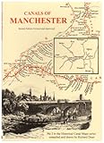
- Canals of Manchester (Historical Canal Maps) by Richard Dean, 2001-08-24
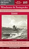
- Winchester and Basingstoke (Cassini Old Series Historical Map)
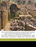
- An illustrated postal directory with map and historical notices, of twenty parishes in East Cornwall, for the new century. From A.D. 449 to 1901 by James Venning, J Birkbeck, 2010-09-03
- Alphabetic catalog of the books, manuscripts, maps, pictures and curios of the Illinois state historical library. Authors, titles and subjects. 1900 by Jessie Palmer Weber, 2010-09-08
- Roman and Mediaeval Canterbury (Historical Map and Guide) by Ordnance Survey, 1990-12-01
- The Hammond-Harwood House Atlas of Historical Maps of Maryland, 1608-1908 by Professor Edward C. Papenfuse PhD, 1982-11-01
- Patterns on the land;: Geographical, historical, and political maps of California by Robert W Durrenberger, 1960
- Historical Maps on File by Martin Greenwald Associates, 1984-02
- Lancashire and Yorkshire Railway Historical Maps by R A Cook, 1976
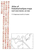
- Atlas of Historical Eclipse Maps: East Asia 1500 BC-AD 1900 (Volume 0) by M A Houlden, F. R. Stephenson, 2009-04-02
- Cassini Historical Map, London 1897-1898 (Rolled) (LON-RNC-R): Discover the Landscape of London's Past by Alex Werner, Francis Herbert, 2007-10-01
|